
In this article, we’ll show you how to measure distances and areas on Google Earth.
How to measure distance between two points
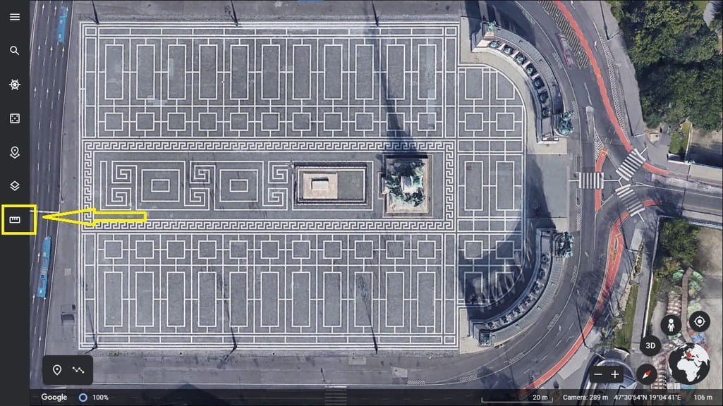
- Firstly open google earth on your device or you can directly go to website : https://earth.google.com
- Then if you can see that ruler/scale icon, click on it
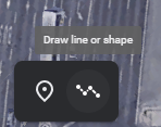
If you can’t find that ruler icon then click on ‘Draw line or shape’ Icon. After clicking on it, the ruler icon will appear
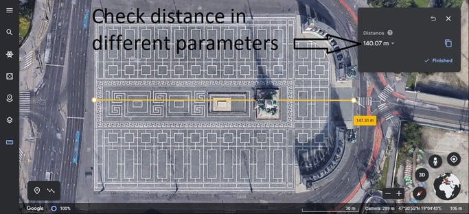
3. Now you can measure distance by clicking. And you can also check distance in different parameters by clicking on unit under Distance
How to Check Area : Click around and make a shape by joining start and end point together.
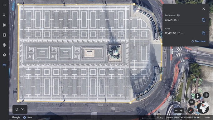
And now you can measure distance between points and area !
ENDLINE: In case you are still stuck somewhere please comment below in the comment box. Our team will be happy to help you. Thank you for reading, keep reading !!


Im pretty pleased to uncover this site. I want to to thank you for your time due to this fantastic read!! I definitely loved every part of it and i also have you book-marked to look at new stuff on your site.
Hey ! Thanks for leaving your kind feedback. I feel happy by reading this and it gives me boost for keep uploading more content. Thanks for this it means a lot to me 🙂